
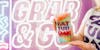
Grab that cup and let’s have fun
Come find us

Get the Party Started. Frozen cocktails, delicious bites and Good Vibes

Hang on to your
souvenir cup and drop by for
discount refills.*
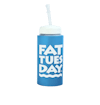
Hang on to your
souvenir cup and drop by for
discount refills.*
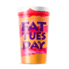
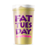
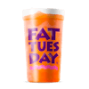
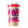
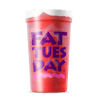
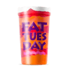
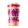
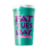
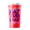
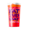
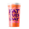
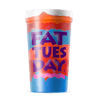
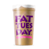
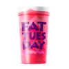
Our products
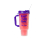
Unique Souvenir Cups. Take the
fun home
with you.
With our souvenir cups, Fat Tuesday is with you whenever you go!
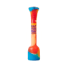
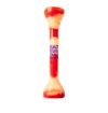
Welcome to the home of the 190 Octane®
Feeling thiiiiiiirsty?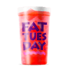


Discover our delicious products that will get you craving.
Our Products
Locations. Find the best spot in town
Skip locations
See keyboard shortcuts to move the map view. When focused on markers use your arrow keys to navigate between them.